Die Textbeiträge wurden als Buch (pdf, ePUB) veröffentlicht.
Die Vorträge und Präsentationen finden sich chronologisch hier:
| Vortrag | Bild | |
Keynote |
||
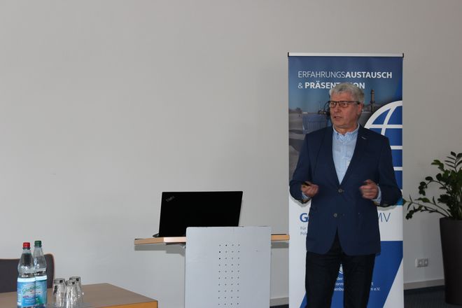
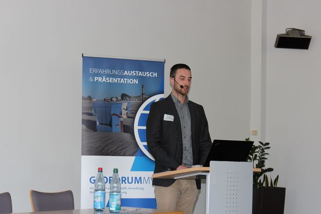
| Geoinformation in allen Lebenslagen Rolf-Werner Welzel – Vorsitzender des Lenkungsgremiums GDI-DE und Geschäftsführer des Landesbetriebs Geoinformation und Vermessung Hamburg |
– |  |
Smarte Technologien für alle Lebenslagen |
||
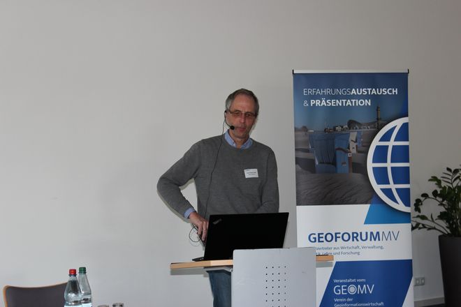
| SmartDemography unter den Aspekten „Zeit“ und „Datenschutz“ Dr. Christoph Averdung, CPA ReDev GmbH |
 |
|
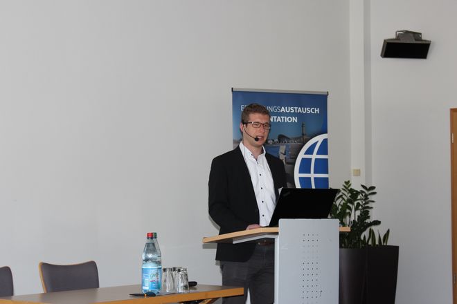
| Smarte Objekte und GIS – Einbindung von intelligenten Objekten des IoT in herkömmliche Geoinformations-Technologie Stefan Herle, Geodätisches Institut und Lehrstuhl für Bauinformatik und Geoinformationssysteme, RWTH Aachen |
Auf Anfrage |  |
GIS zur Verbesserung der Mobilität |
||
| UKOS-Datenbank und WebClient zur Erfassung von Straßen- und Doppikdaten Dr.-Ing. Peter Korduan, GDI Service GmbH |
 |
|
| Digitalisierung für Kommunen – Eigenen Datenbestand zur Verbesserung der Mobilität und Bürgerinformation nutzen Sven Hoffmann, infrest – Infrastruktur eStrasse GmbH |
 |
|
Big Data und Künstliche Intelligenz |
||
| Einsatz von KI und Visualisierung für große Datenmengen Stefanie Ellinger, Hexagon Geospatial Dr. Uwe Jasnoch, Hexagon Geospatial |
 |
|
| Automatische Grünland-Charakterisierung und Einzelpflanzenerkennung mittels UAV-basierter Daten und offenen Geodaten Philipp Zacharias, Universität Rostock |
 |
|
Kommunale Anwendungen |
||
| Optimierung innerkommunaler Informationsflüsse – Praktische Arbeitshilfen am Beispiel Adaption an Starkregenereignisse Lutz Kuwalsky, Vermessungsbüro Holst und Helten |
 |
|
| Baumkontrollen und Außenanlagenverwaltung mit GIS-Unterstützung in der Praxis Hans-Christoph Tielbaar (Hansa Luftbild AG) |
 |
|
| INSPIRE-Daten in der Raumplanung für Erneuerbaren Energien (EE) – Schlüssel für EE-Projekte in der BSR Tobias Lerche, EU-Projektmanagement Rostock (Dr.-Ing Frank Grüttner, Energie Umwelt Strategie UG ) |
 |
|
| MV-Services und die MV-Plattform –Basis für ein kooperatives E-Government Heiko Thede, Ministerium für Energie, Infrastruktur und Digitalisierung M-V |
 |
|
Basistechnologien |
||
| Low-Code als Schlüssel für die einfache Bereitstellung von Geodaten-Funktionalität in sachdatenorientierten Fachanwendungen Robert Beyer, Scopeland Technology GmbH |
 |
|
| Umsetzung interoperabler Dienste in M-V – Herausforderung und Erfahrungen Karen Langer, AfGVKÂ Landesamt für innere Verwaltung M-V Edward Nash, DVZ-MV GmbH, |
 |
|
| Entwicklung eines XPlanung-Bauleitplanservers für Mecklenburg-Vorpommern Robert Krätschmer, GDI Service GmbH Jürgen Debold, Landkreis NWM Marco L. Zehner, DVZ-MV GmbH |
 |
|
Web-GIS-Lösungen |
||
| Von der interaktiven Website-Karte zum touristischen Knowledge Graphen – Wie Kontext und Semantik in Zukunft noch mehr aus Geoinformationen machen werden Carsten Pescht, Tourismusverband Mecklenburg-Vorpommern e.V. |
 |
|
| GeoEIS-GeoEnergieinformationssystem Tobias Lerche, Eneka Energie & Karten GmbH |
 |
|
Nachhaltigkeit von Geoinformationen |
||
| Erhaltung von Geodaten (ISO 19165-1) Prof. Dr. Wolfgang Kresse, Hochschule Neubrandenburg |
 |
|
| Lernen mit offenen Geodaten Axel Lorenzen-Zabel, Universität Rostock, Agrar- und Umweltwissenschaftliche Fakultät, Professur für Geodäsie und Geoinformatik |
 |
|
| Umgang mit Betroffenenrechten im Datenschutz bei personenbeziehbaren geographischen Informationen – Zur Handhabung von Auskunftsverlangen und Löschungsansprüchen Falk Zscheile, Kramp, Selling & Partner Rechtsanwälte mbB |
 |
|
GIS- und UAV-Anwendungen |
||
| Drohnenbilder im WebGIS – Wie kommen Drohnen-Bilddaten mithilfe von OpenDroneMap ins WebGIS Robert Klemm, WhereGroup GmbH & Co. KG |
 |
|
| UAS Einsatz bei 2D- und 3D-Digitalisierung, Inspektion und Vermessung für Stadt und Land Dr. Ludwig Schrenk, CIS GmbH |
 |
|
| Aktuelle 2D- und 3D-Gebäudegeometrien als Basis kommunaler Energiekarten Tobias Weinzierl, Eneka Energie & Karten GmbH |
 |
|
Ausstellerbeiträge |
||
| Neue Technologien für Geobasisdaten M-V Sven Baltrusch, Landesamt für innere Verwaltung, Amt für Geoinformation, Vermessungs- und Katasterwesen |
– | |
| ArcGIS Online Ingo Michels, Esri Deutschland GmbH |
www | – |
siehe GeoForum MV 2019